A city recorded in more than one material
At Quanzhou, surviving religious buildings and inscriptions offer a more complicated introduction to maritime exchange than a line drawn across an ocean. The UNESCO-listed property brings together sites associated with production, transport, administration and religious life during the Song–Yuan period. These components matter because a port was not simply an anchorage. Goods had to be made or collected, moved inland, taxed, stored and negotiated over. Different kinds of surviving evidence illuminate different parts of that process.
A religious monument may indicate the presence, patronage or aspirations of a community. It does not automatically supply the number of merchants who belonged to that community, or show that all its members were involved in overseas commerce. An inscription has its own audience and purpose. Read alongside a monument’s construction history and archaeological setting, it becomes stronger evidence than an isolated quotation circulated without context.
Mantái: an assemblage rather than an itinerary
Mantái, near Mannar on Sri Lanka’s northwestern coast, is important for understanding the island’s place within Indian Ocean exchange. Excavations have recovered materials that invite comparison with production regions far beyond the immediate coast. Imported ceramics, beads and other finds help researchers examine contacts across multiple periods. Their significance comes from the assemblage and its archaeological contexts, not simply from the most spectacular object.
The tempting shortcut is to connect every foreign find directly to its presumed place of manufacture. Yet an object might have travelled through several ports, changed owners repeatedly, or arrived long after it was made. A vessel produced in one region could have been carried by a ship whose crew came from another. Production origin, ownership and transport are separate questions. A responsible reconstruction keeps those questions separate until additional evidence connects them.
The monsoon was infrastructure, not destiny
Seasonal winds helped structure Indian Ocean sailing, but they did not make every voyage predictable or every coast equally accessible. Departure windows interacted with vessel design, local currents, reefs, provisioning and knowledge held by pilots. Waiting for a favourable season could make a harbour a place of extended residence. Warehouses, brokers and relationships ashore were therefore as important to a network as movement at sea.
Written accounts can describe this seasonal world, although their authors had particular interests. The Periplus of the Erythraean Sea, generally dated to the first century CE, records ports and commodities from a specific commercial perspective. It should not be used as a timeless directory for the entire Indian Ocean. Nor should its place-names be matched to modern locations without checking the scholarly argument behind each identification.
A useful comparison beyond Asia
Berenike, on Egypt’s Red Sea coast, provides a valuable comparative endpoint for connections involving South Asia. Archaeological research there has investigated imported materials, botanical remains and inscriptions. Such evidence helps establish that exchanges reached far beyond a single coastline. It does not mean that every object moved in one uninterrupted voyage between an Asian producer and an Egyptian consumer.
Comparison is especially useful when independent forms of evidence overlap. Plant remains can reveal commodities that rarely survive in ordinary conditions. Ceramics can help identify production traditions and broad chronological ranges. Texts may name goods or trading communities. Agreement between these sources strengthens a reconstruction, while disagreement can expose an assumption that deserves revision rather than concealment.
What makes a port “forgotten”?
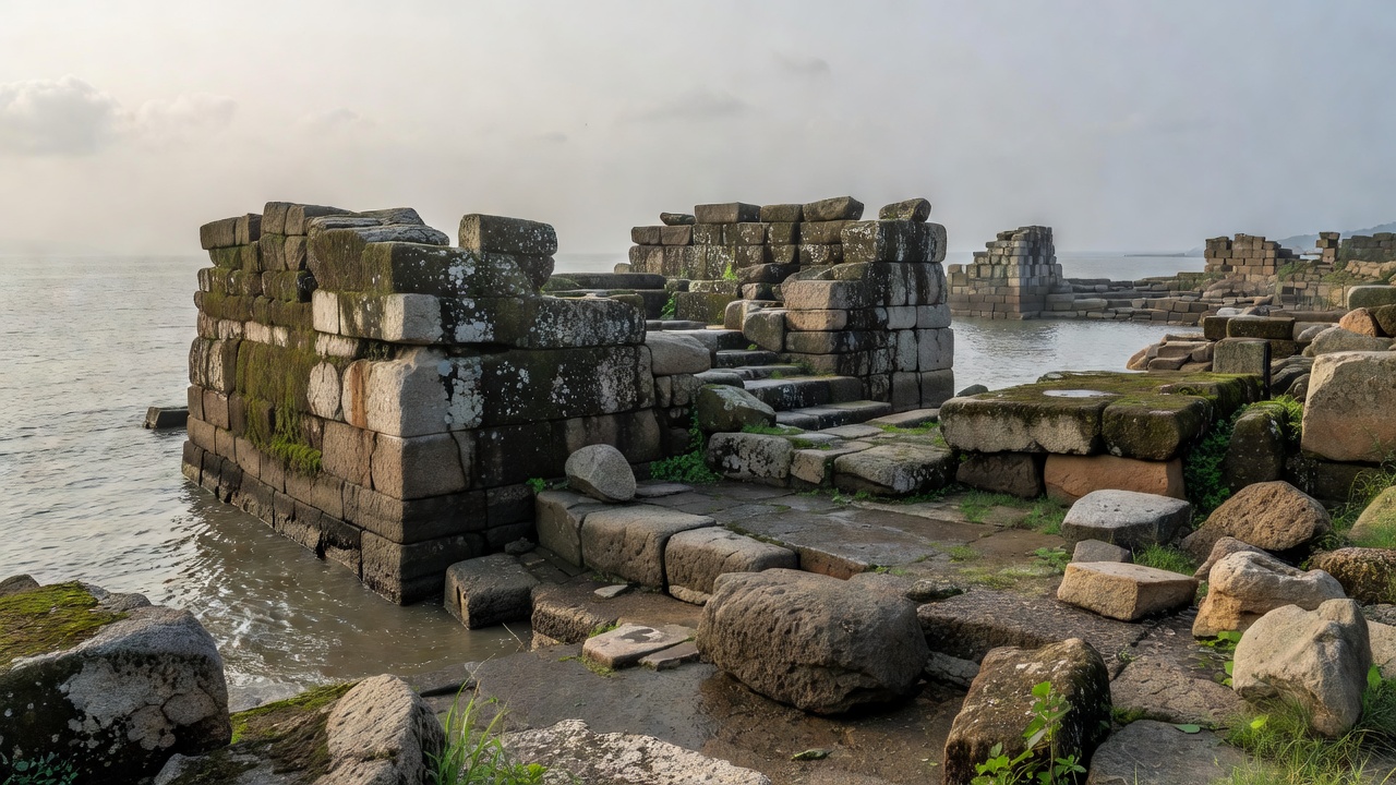
A shoreline can change, channels can silt up, and commercial activity can move to another anchorage. Later settlement may cover earlier waterfronts. None of these processes means that the place disappeared from local memory. Here, “forgotten” describes relative absence from familiar historical narratives, not the discovery of an empty past. Local communities, excavators and regional historians may have maintained knowledge that broad surveys overlooked.
For the curious traveller, the most useful question is not “Was this the greatest port?” but “Which surviving evidence explains its connections?” Look for dated documentation, a clear account of excavation, and an explanation of landscape change. Treat a scenic waterfront as a setting rather than a reconstruction. The vanished harbour becomes more intelligible when uncertainty remains visible.
Uncertainty file: can one imported bowl prove direct trade?
No. It supports movement beyond its production area, if that attribution is sound. Direct trade requires additional contextual, chronological and transport evidence.