A letter is smaller than a route—and often more revealing
The Sogdian Ancient Letters offer an unusually direct introduction to long-distance lives. Found near Dunhuang, these early fourth-century documents preserve concerns about family, business and disrupted communication. They are not a complete archive of Sogdian commerce. Their survival is selective, and the circumstances of individual writers differ. Yet their specificity makes them a powerful corrective to the anonymous caravan silhouettes that often stand in for centuries of inland exchange.
A letter can show that someone expected a message to travel between particular people or places. It may also reveal anxiety when communication failed. That evidence is different from proof of a continuously operating road. The practical network depended on messengers, hosts, commercial acquaintances and political circumstances. Breakdowns belong in the history alongside successful journeys.
Dunhuang was a place of reading as well as movement
The manuscripts associated with the Mogao Library Cave preserve religious works, administrative writing, contracts and other everyday records in several languages. The cave was sealed around the early eleventh century, although the reasons and precise circumstances remain subjects of discussion. The collection does not represent every aspect of the town equally. It reflects preservation, selection and the activities of the institutions and individuals connected with it.
Even with those limits, the material makes clear that inland connections moved ideas and techniques as well as commodities. Translation, copying and religious patronage required local labour. A manuscript might be produced close to where it was used, even when its language or teaching reflected wider relationships. The history of exchange therefore includes settled workshops and communities, not only travellers passing through.
Water made the map
A modern diagram can connect Dunhuang, Khotan and Kashgar with a neat line. On the ground, travel depended on river systems, wells, seasonal conditions and access to fodder. Routes around the Tarim Basin were shaped by the relationship between mountain water and desert margins. An oasis was not merely a dot where a caravan paused. It was an agricultural and social system capable of supporting residents and some proportion of passing traffic.
Environmental change can help explain why a settlement became harder to sustain, but it should not become a universal answer. Irrigation maintenance, political authority, changing markets and local decisions could also matter. A river’s movement and a community’s decline need to be dated independently before one is confidently presented as the cause of the other.
A schematic, not a historical map
No scale, coordinates or single historical journey is represented.
Crossing the mountains changed the terms
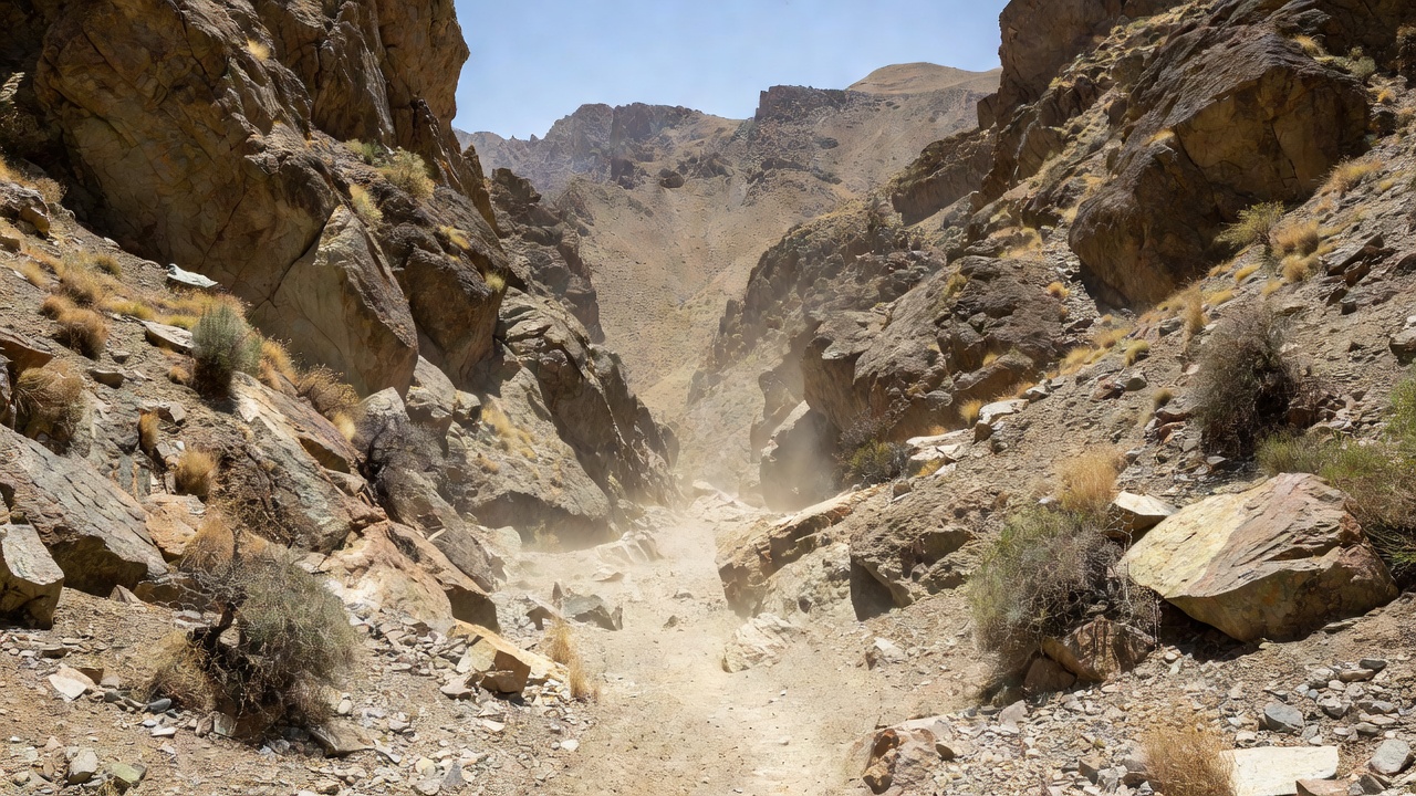
The Pamir and neighbouring mountain systems offered multiple passages rather than one permanent gateway. Altitude, snow, grazing and the suitability of pack animals influenced what could move and when. Accounts of a successful crossing should not be treated as evidence that the same passage was routinely available to every traveller. Exceptional journeys can be especially visible precisely because they were difficult.
Xuanzang’s seventh-century travels are important for historical geography and Buddhist connections, but his account must be read as a particular religious and literary record. Distances, names and descriptions require interpretation. Matching a passage to a modern map is a scholarly argument, not a simple act of tracing. Other documents and archaeological contexts can support or complicate the proposed match.
Many short journeys can make a long connection
Goods could move enormous distances without any one merchant completing the whole route. Exchanges between neighbouring markets might relay an object through several hands. This matters when reading a foreign textile or coin: the distance between manufacture and deposition is not necessarily the distance travelled by its last owner. Repair, reuse and long storage can further stretch the relationship between an object’s production date and its final arrival.
“Silk Road” remains a useful introductory term when its limits are clear. It is a modern label for diverse, changing connections, not an ancient road name shared by everyone who used them. Keeping the plural idea in view makes room for local agency, failed ventures and routes that were important only briefly. The surviving letter brings those large abstractions back to a human scale.
Uncertainty file: can a map show all active routes at once?
Only with substantial simplification. A responsible map distinguishes periods and explains whether lines represent documented journeys, inferred connections or broad corridors.